


Symposium Highlights 2026
2026 ADMS X Training Videos
Zone Soil Testing Software Solutions
Variable Rate Fertility Solutions
Variable Rate Seeding Solutions
Topography, Watershed Modeling and Drainage

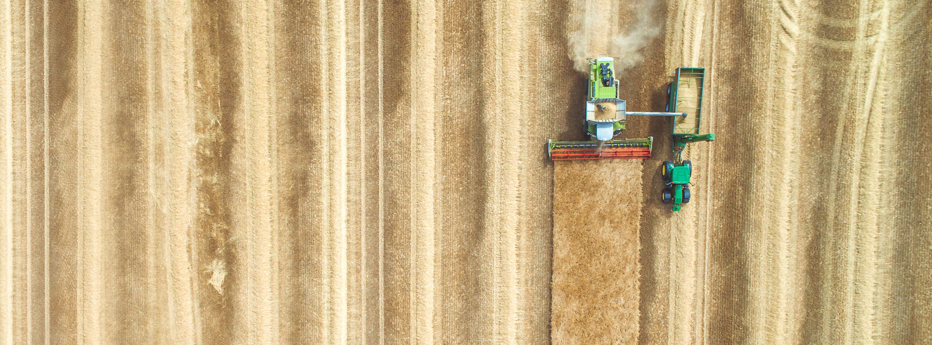
We've Created The Ultimate Ag Data Mapping Solution
Our solutions allow for the use of a single software package to deliver a wide range of precision agriculture practices.
Whether you are starting your zone management practices from imagery, yield data, veris data, topography, or just about anything else, start to finish you can handle it with our software.
Learn More
Task-Oriented Modules
Zone Soil Testing Software

Zone definition, data analysis, soil sampling, nutrient and product layer creation, and variable rate application can all be completed in Ag Data Mapping Solution.
Variable Rate Fertility Solutions

GK Tech designs software that creates application maps for many controllers on the market, as well as some of the best software on the market for sending data to aftermarket rate controllers.
Variable Rate Seeding Solutions

Whether you are just generating prescriptions from a wide range of input data to place on a variable rate seed controller that you already own, or are looking to start from scratch, we have solutions for almost any situation.
Topography, Watershed Modeling and Drainage

One manufacturer has spent more years trying to copy our watershed modeling software than we spent creating it. But, it is said, imitation is the sincerest form of flattery. Check out the original here. We pioneered the use of RTK surveying, watershed modeling, and in-cab displays for precision drainage.

2008 NAIP photo draped over LIDAR of the City of Halstad, MN, on the Red River. The dikes and oxbows are clearly visible.
3D Map Visualization
Transform your farming operations with our advanced precision agriculture technology. Create highly-accurate 3D topography maps of your land for a comprehensive visual experience and enhance profits with our innovative mapping solutions.
