Variable Rate Mapping Services
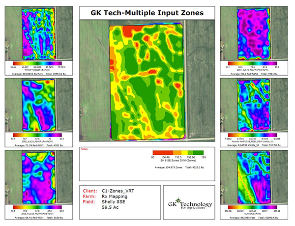
- Variable rate mapping starts with a fairly simple process of taking one or a combination of input maps for a field.
- Input maps can come from many different sources, satellite or aerial images, UAV stitched data, yield maps, veris maps, grid soil samples, grower defined areas and soils maps to name some possible sources.
- Merge input data together based off GK algorithms, creating management zones.
- From these management zones, there are many maps we produce, soil test results, yield goals, fertilizing and seeding maps.
Variable Rate Fertilizing
- Fertilizing can be N-P-K, micro-nutrients, lime or manure applications.
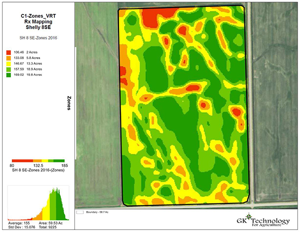
- Images will typically be adjusted t 3 to 5 zones for soil sampling.
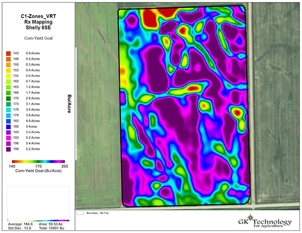
- Yield goals set for each zone.
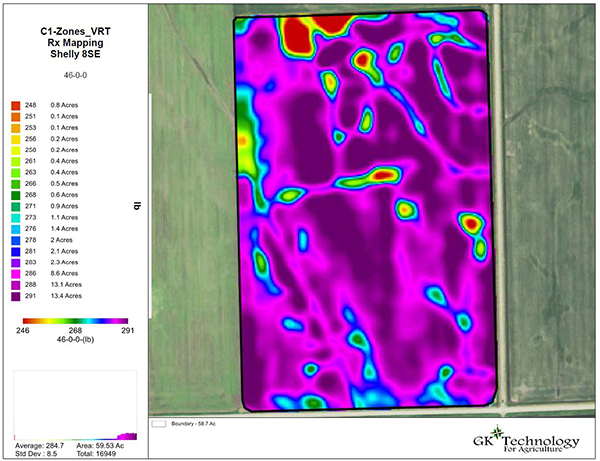
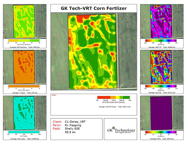
- Variable rate application maps created and sent for application.
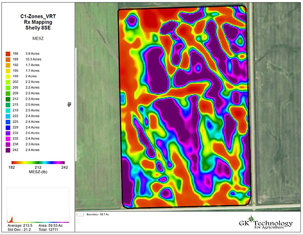
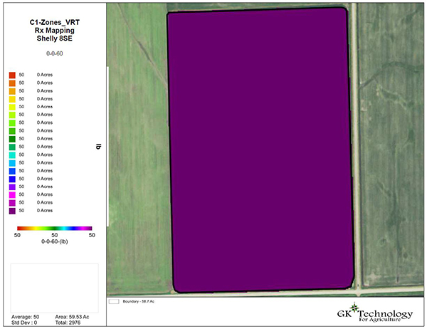
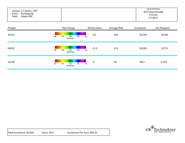
- Note: to the left are some examples of maps built and different printout we produce.
Variable Rate Seeding
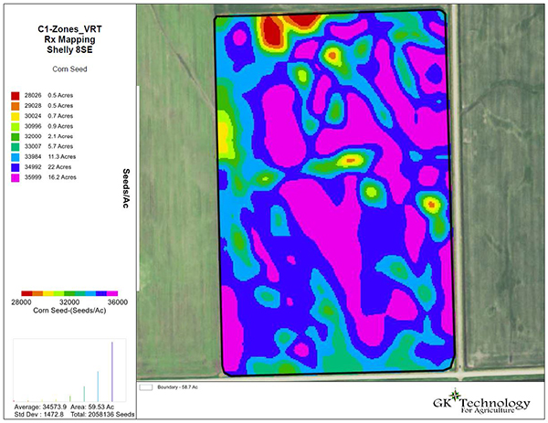
- For use in variable rate seeding or variable variety seeding. application rates can be set to hard breaks (1,000 seed increment shown here) or fully interpolated like the "fertilizer" maps shown above.
- The driver map for the seeding map can be based on zones as shown here or using single or multiple year maps.
- Once the zones are established, seeding rates set.
- Variable rate map will be created and sent for seeding.

