Imagery, Yield, & Variable Rate Solutions

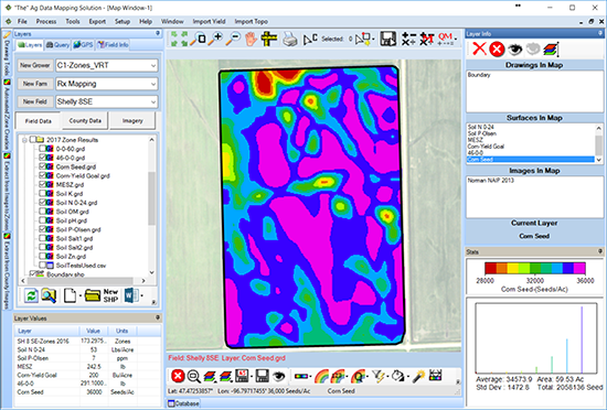
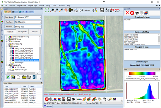
ADMS is designed to work with several different imagery file types like JPG, TIF, BMP, SID for instance and data formats including ECW, DAT, LAZ and many others. ADMS can easily crop these large image and data types by simply using a shape file such as a field or county boundary, drastically reducing file sizes for easy filing and exporting.

Image Geo-Refrencing


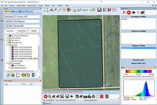
The positional accuracy of satellite and aerial images is limited by their resolution and are commonly off by many yards causing the positional accuracy of your maps to suffer.

In ADMS, image adjustment is made fast and simple by using geo-referenced field boundaries as a reference, instantly improving overall accuracy.
im1
im2

Extracting Images


Extract images easily creating an image that can contain up to 255 colors.

Extracting Images


Extract images easily creating an image that can contain up to 255 colors.

im2

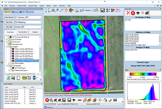
Smoothing Images


Reducing the border effect on these low resolution satellite images helps visually represent  what is happening in the field.

Note the file has now been saved into the proper field and is stored here as a .grd format.
im3

im4

Zone Creation


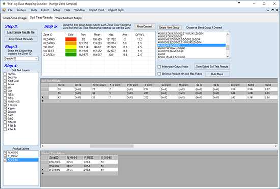
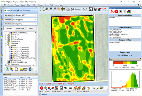
The zone creation methods in ADMS take image and yield data to the next level for your soil sampling and zone management needs.  Not only can you use different types of data, you can use them together to create management zones that more accurately represent the field.
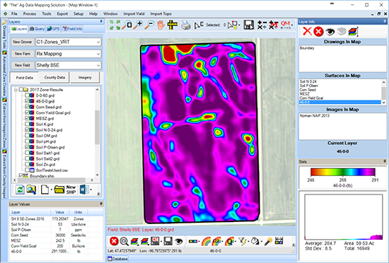
ADMS gives you several mathematical options for helping you to create these zones  and customize them based on your knowledge of the field. These maps can then be exported for their use with other programs and PDA's of your choice.

Zone Creation


Zone creation takes the image to the next step for soil sampling or zone management. ADMS gives you several mathematical options for helping you to create these zones.
You can customize these zones to reflect your knowledge of the field. These images can be exported to a bitmap format for use with other programs and PDA's.
im4

im5

im5

im5