Consultants Package
The consultants package is an additional package that will give users access to GK Imagery & Topography databases, Confidence Mapping scripts, faster processing tools, free classroom training and specialized training sessions and finally reduced cost on GK mapping services.
Unlimited Field Extraction
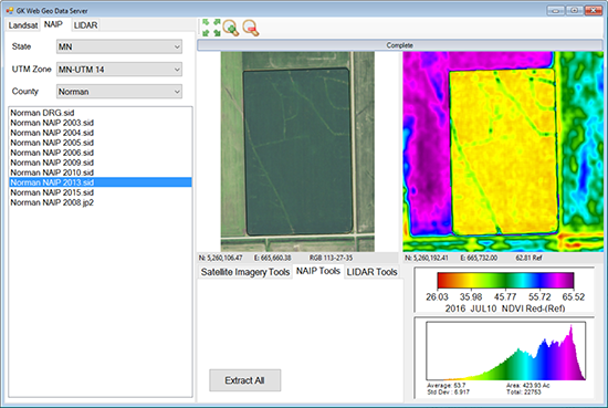
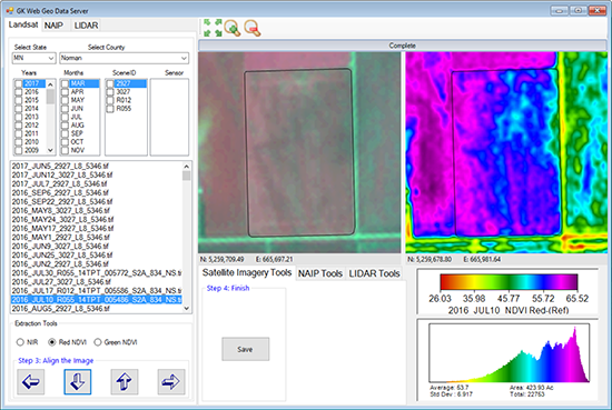
GK imagery database gives users access to the GK’s data library Landsat & Sentinel data. Extract as many fields as you would like. Library has 30+ years of Landsat data and we are just starting to add in Sentinel data.
LiDAR Data
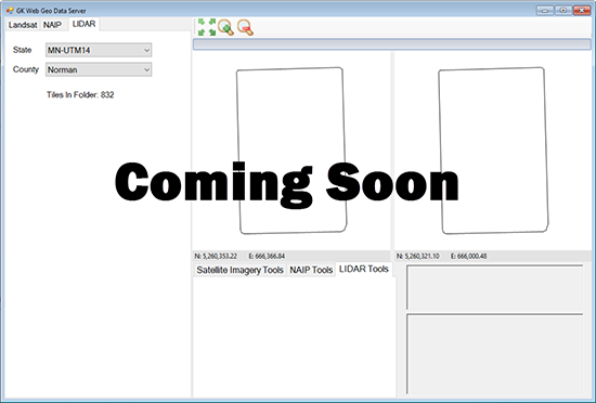
GK imagery database also contains LiDAR data. In areas where lidar is available, you can import LiDAR topography data.
This data can be used to drive the 3D features of the software and also to drive the Watershed modeling / drainage portion of ADMS.

Confidence Mapping
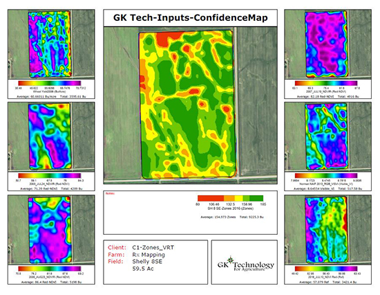
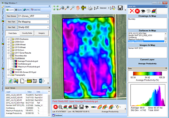
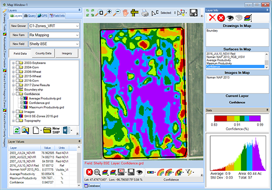
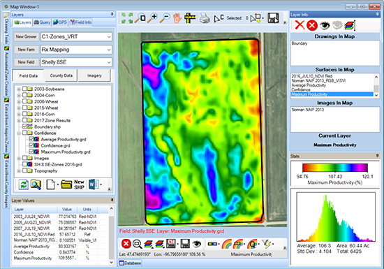
Confidence Mapping option allows you to combine multiple years of yield, satellite imagery, aerial imagery or any data that will reflect production. Merge the layers and you get a “Confidence Map”, “Max Production Map” and “Average Production Map”.
Contact You GK Staff Today
Please contact your GK staff for information on consultant mapping pricing information.
Contact
