Article By Kelly Sharpe
LiDAR is aerial collected elevation data we have used in Ag Data Mapping Solution (ADMS) for roughly 12 to 13 years. When the first LiDAR LAS/LAZ files were made available for the Red River Valley, Darin jumped on how to use them and process them right away. The LAS/LAZ file are an open-source point cloud format that creates some very amazing topography maps! GK’s ability to utilize this data has made for some awesome maps over the years. Also, note that ADMS has updated its Lidar reading tools around January of 2022. Versions of ADMS prior to 9.9.50 would read LAS/LAZ version 1 to 1.2. Versions of ADMS after 9.9.6 have support to read LAS/LAZ versions 1 to 1.4. All the new LiDAR is in version 1.4! Make sure you have the latest version of ADMS (9.9.83 is what’s on the web) or newer.
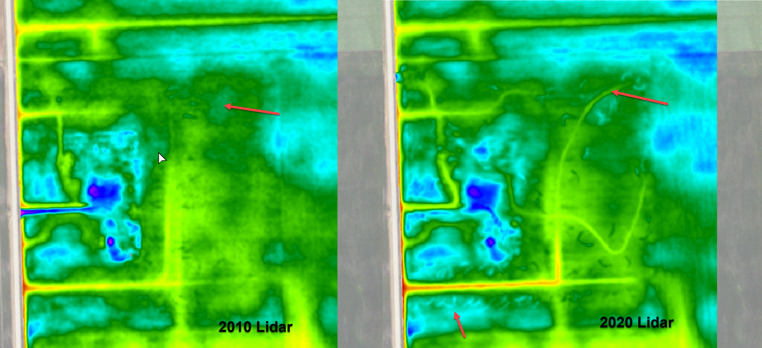
- Example below shows 2010 LiDAR vs 2020 LiDAR, both are processed at one meter resolution for demonstration purposes.
- NOTE the example below is a Random Field I stumbled on.
- Farmer is obviously not using any mapping!
- Arrows show ditch into hill and dump piles.

Red River Valley Update:
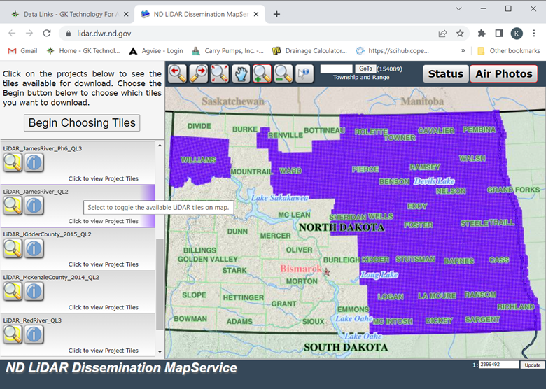
UPDATE: North Dakota has re-flown the Red River Valley LiDAR. The flight dates are roughly from the spring of 2019 to the fall of 2021. For those of you who are ADMS “Consultants Package” users, you will find that in ND-UTM14 – Traill county Lidar will now be listed as Traill 2010 and Traill 2020. For a period of time, we will be hosting both the old LiDAR and new LiDAR data. We feel this is important, as there are customers wondering how similar the old and new data is. For those who are not in the Consultants Package. You can go to https://gktechinc.com/data-links/ and click on the “ND LiDAR Dissemination Mapservice”. We have instructions below (Big GREEN button) the link on how to download the data and tools that may be helpful.
- Pic of the ND Website and all the Data that is available under “LIDAR_JamesRiver_QL2”

UPDATE: MN LiDAR – The Red River Watershed Management Board, watersheds, and counties in the Red River Basin, funded an updated LiDAR acquisition last summer/fall. Data is being processed and going through rigorous quality assurance process to meet the QL1 USGS standards. Exact release dates have not been set but should be coming soon. Please note, this is only for the Red River Basin, not the whole state! We will let you know when the data is ready to download and how to get the data.
